Eynsford to Shoreham

Trying out a new direction from London: South-East! An easy 40 minutes on the Thameslink from Blackfriars and a branch line I've never taken before.

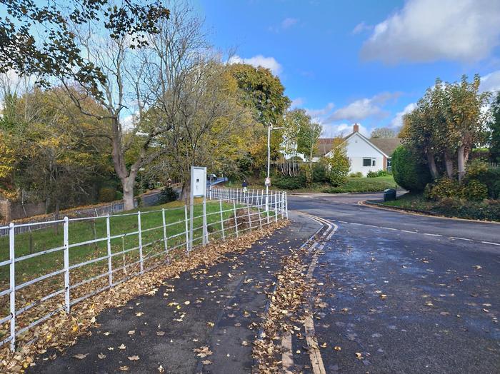
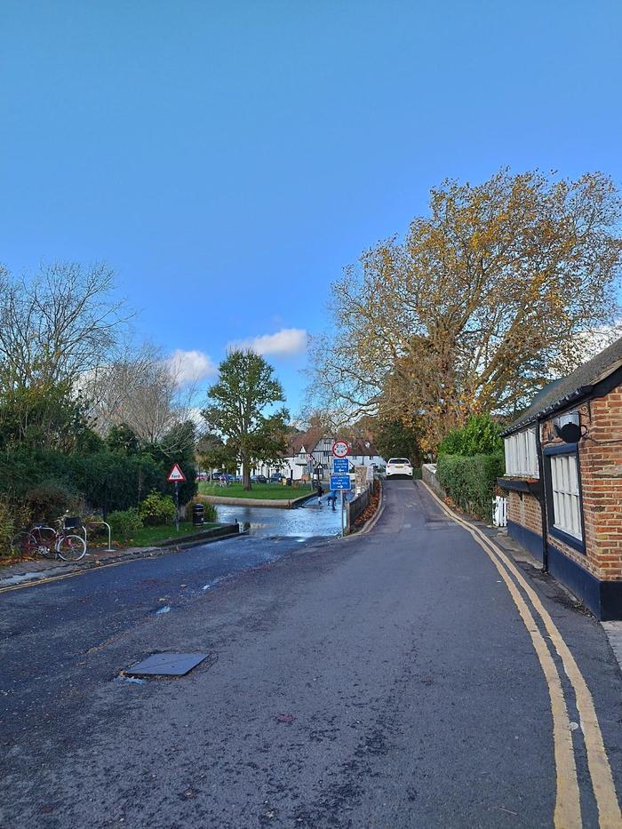
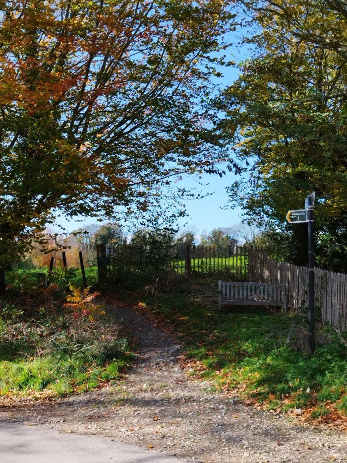
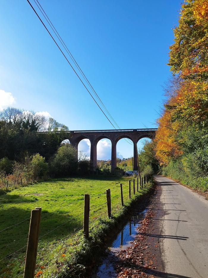
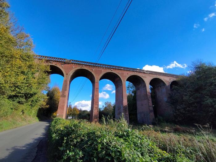
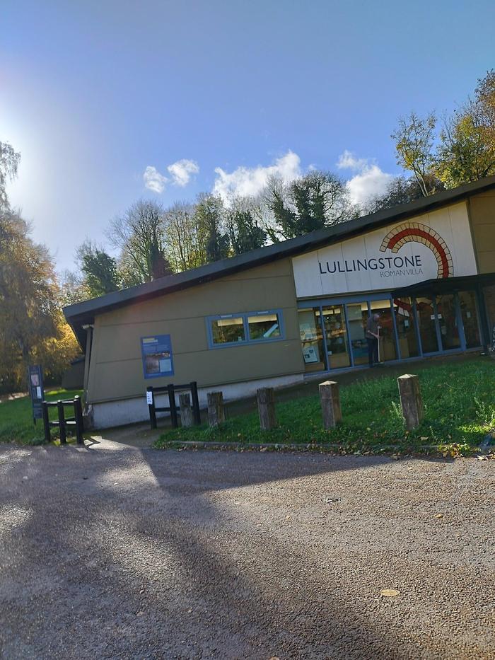
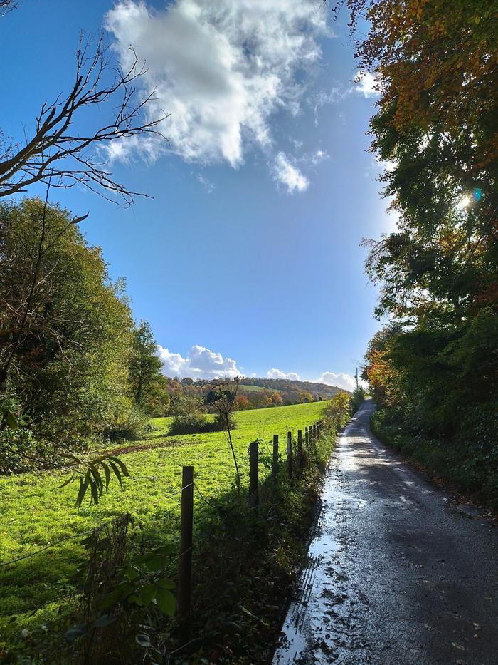
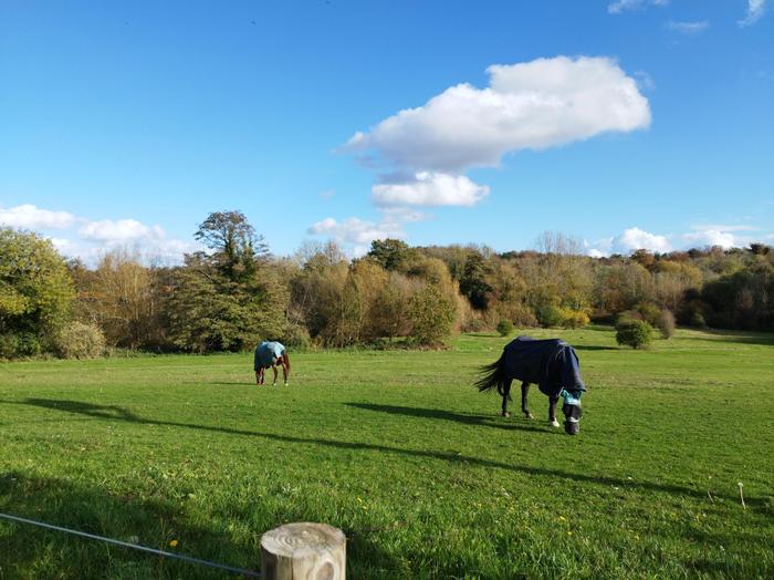
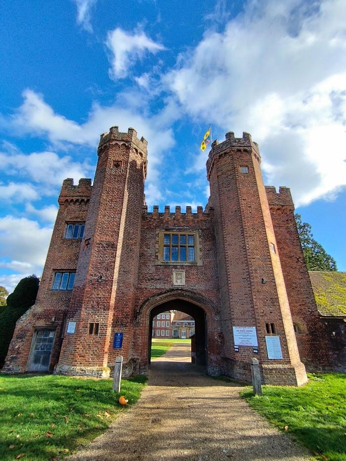
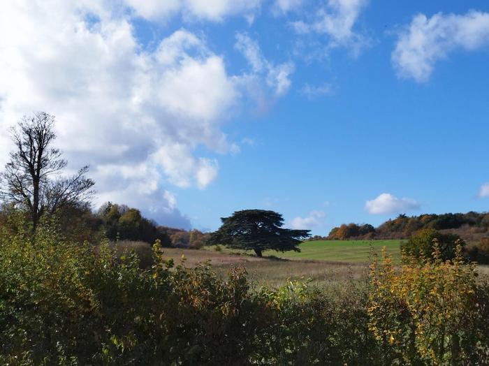
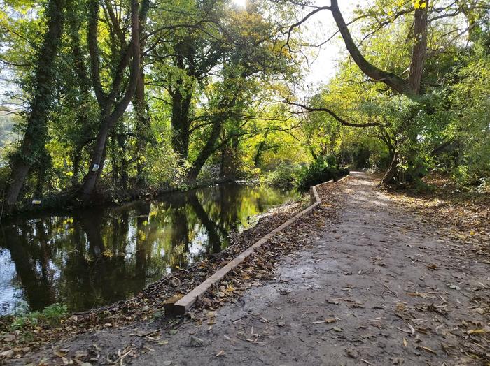
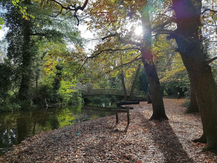
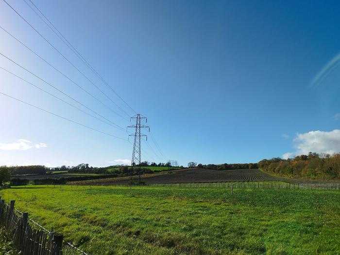
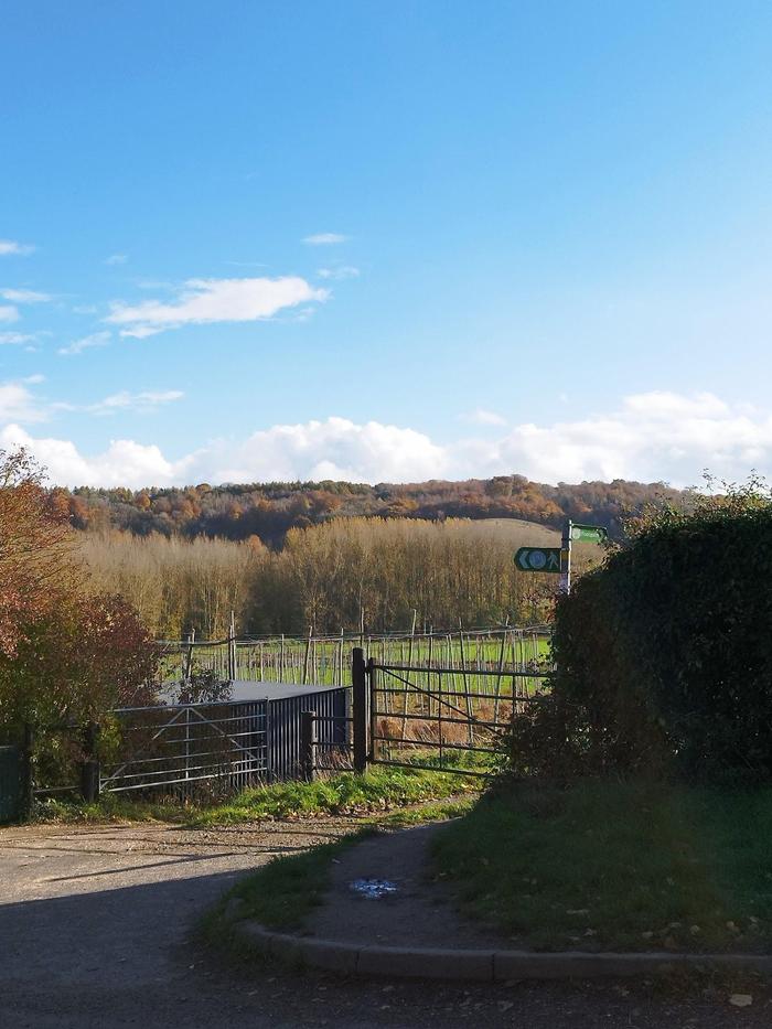
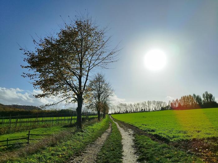
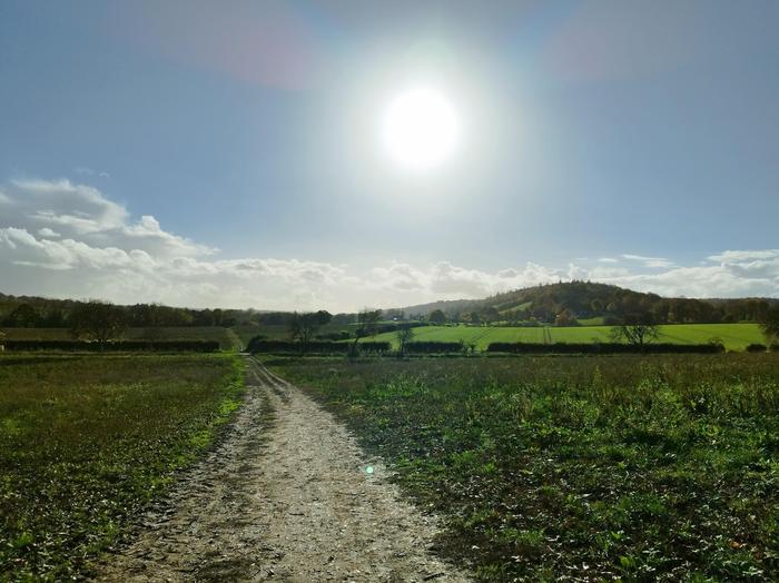
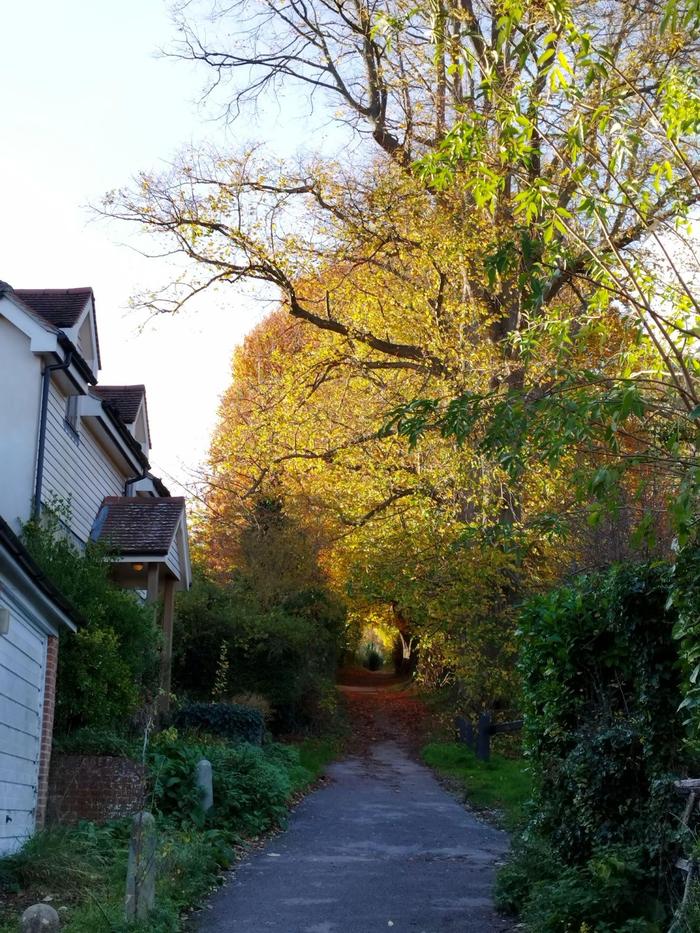
There are many points of interest on this route: a ford, a viaduct, a Roman villa, a castle, and so many lavender fields. It is a gentle flat walk and taking it slow is a must. Towards the end, it crept up to maybe become one of my favourite walks. It might have been because it was a few months since I last ventured out for a stroll in the countryside. Regardless, this is a great route and recommended for all.

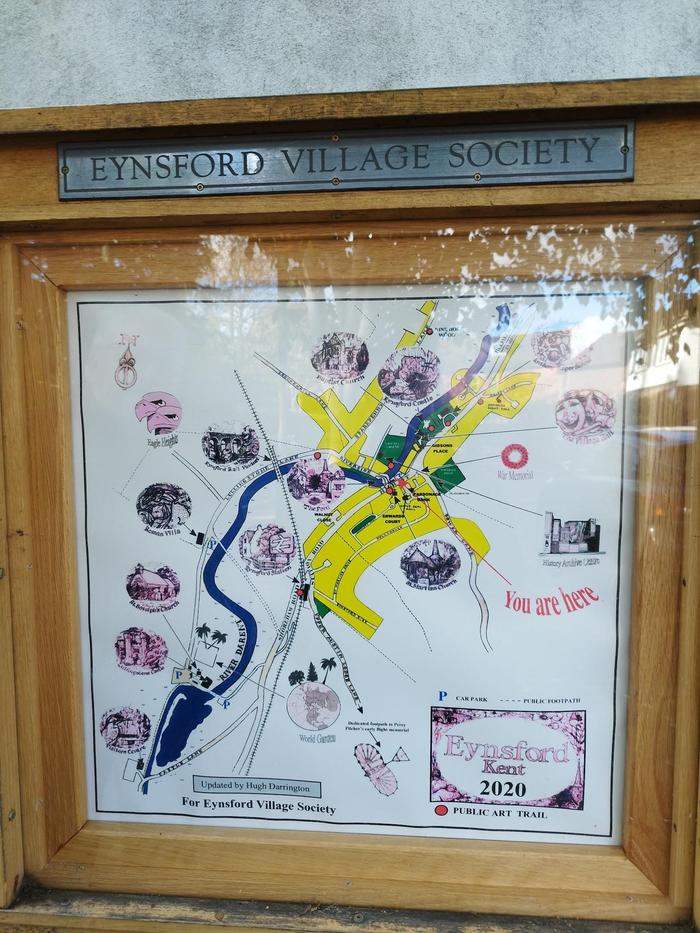
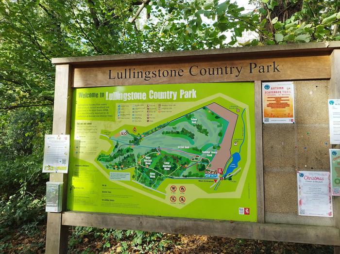
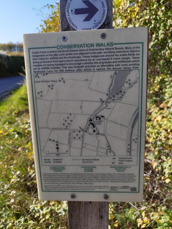
There are many information boards to read along the way, and plenty of benches to rest at too.

Waypoints

Location pin icon 51.36309, 0.20479 - Eynsford

Exiting the station, turn left and head down the road towards Station Road. Take care crossing the road when you don't hear any oncoming cars. Walk along the pavement towards town. You'll need to cross over again when the pavement runs out.

Location pin icon 51.36799, 0.21082 - Eynsford Ford

Once you spot a church spire and a village shop serving coffee, you'll also spot the ford. Take care crossing over the bridge, again when there are no cars. It's a fascinating landmark, and reminded me of one near Shere. Follow the gentle stream and onto the country lane.

Location pin icon 51.36883, 0.20285 - Viaduct

Soon enough, you'll spot some footpath signs. You can take that route if you want - it'll lead up the hill for some nice views. To keep the route flat, follow the main lane and you'll quickly come to the railway viaduct. If you've timed it right, you'll spot a few trains! Thameslink and South Eastern trains run on this route. You might also spot some freight trains.

Location pin icon 51.3641, 0.19672 - Roman Villa

From then on, you just keep on the same lane. If you're lucky, you might see some horses. The Roman Villa was closed for the season when I went but looked really interesting.

Location pin icon 51.35849, 0.19497 - Lullingstone Castle

Eventually, you'll spot a variety of country flags. This is the World Garden of Lullingstone Castle. At the front gates, you'll be greeted by the vast castle walls. Again, it was just closed for the season why I went, but it was cool to see nonetheless. A few steps towards the car park is a public footpath sign. Follow that pass the gate.

Location pin icon 51.35483, 0.19187 - River Darent

The big lake is private land, so you can't walk alongside it. Instead, you get the River Darent. This gentle stream is absolutely delightful in autumn. Well-maintained and lots of benches for a quick rest too!

Location pin icon 51.35315, 0.19059 - Lullingstone Country Park

Lullingstone Country Park tends to have more visitors as it has a paid car park and the views across the lands are great. There are toilets and a cafe for a longer break if so desired.

Location pin icon 51.3523, 0.19022 - Castle Farm

Exiting the country park leads you on to the road. Don't miss the footpath though. It runs parallel to the main road and is much nicer to walk along. You'll see vast farm lands for wheat, lavender, and livestock. At the end of the footpath, take care crossing the road and onwards to the next public footpath. The meadows are utterly delightful and with the early setting sun gives you the last kick of energy needed to finish the walk.

Location pin icon 51.33392, 0.17769 - Shoreham

Once entering Shoreham, you can chose to continue on the public footpath for a quicker walk to the train station, or turn right and head into the village. There you'll find a selection of pubs and tea rooms which are highly recommended.

Location pin icon 51.33189, 0.18888 - Shoreham Station

The train station is 1km from the village centre and involves quite a bit of road walking. Just watch out for cars in front and behind you. There are plenty of places to stop and let cars pass. The trains at Shoreham either go back to Blackfriars or to Sevenoaks.