Just 30 minutes from London by train, this route is a great introduction to hiking in the Chilterns.
There are plenty of fields to walk through, as well as quaint little villages to delight the senses. There aren't any steep inclines all along the route; some parts are elevated so just take your time and all will be good. Do remember to look back for 360 degree views of quintessential English countryside.
Waypoints
51.67411, -0.60752 - Amersham
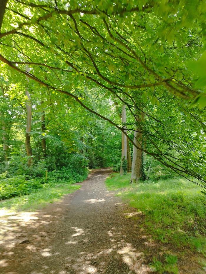
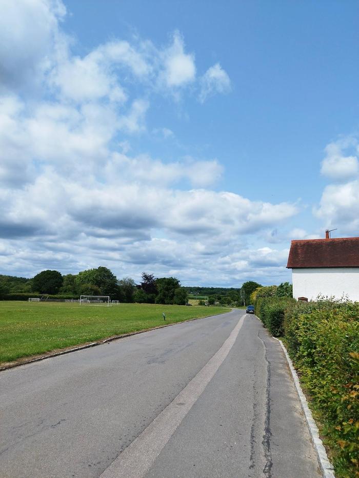
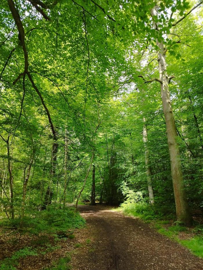
Amersham train station is served by the Metropolitan line and Chiltern Railways. The former takes 1 hour from central London and the latter takes 30 minutes from London Marylebone. Starting from the train station, we take a small narrow lane to enter Parsonage Wood. We follow the edge of this wood parallel to Rectory Hill road and descend in to Amersham Village.
51.65266, -0.62786 - Coleshill
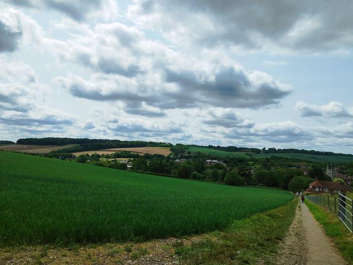
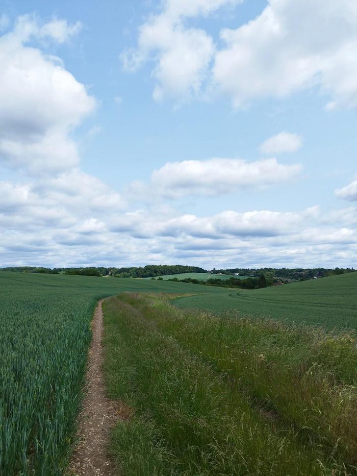
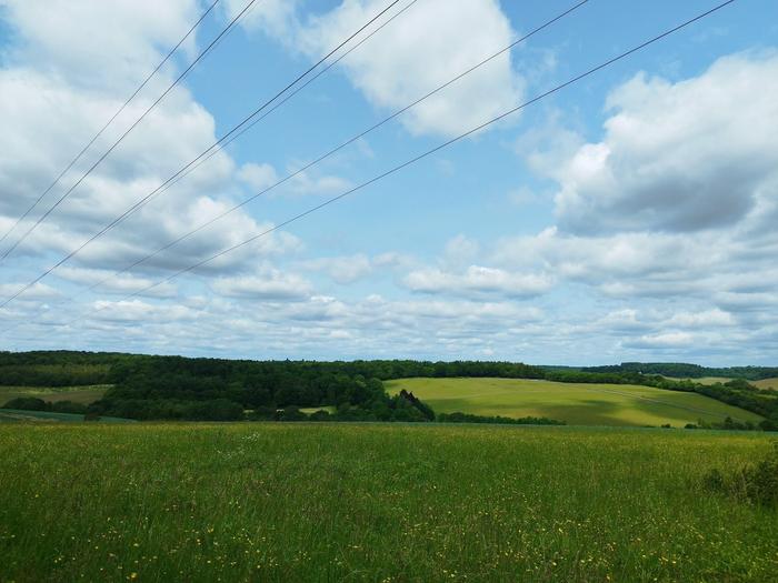
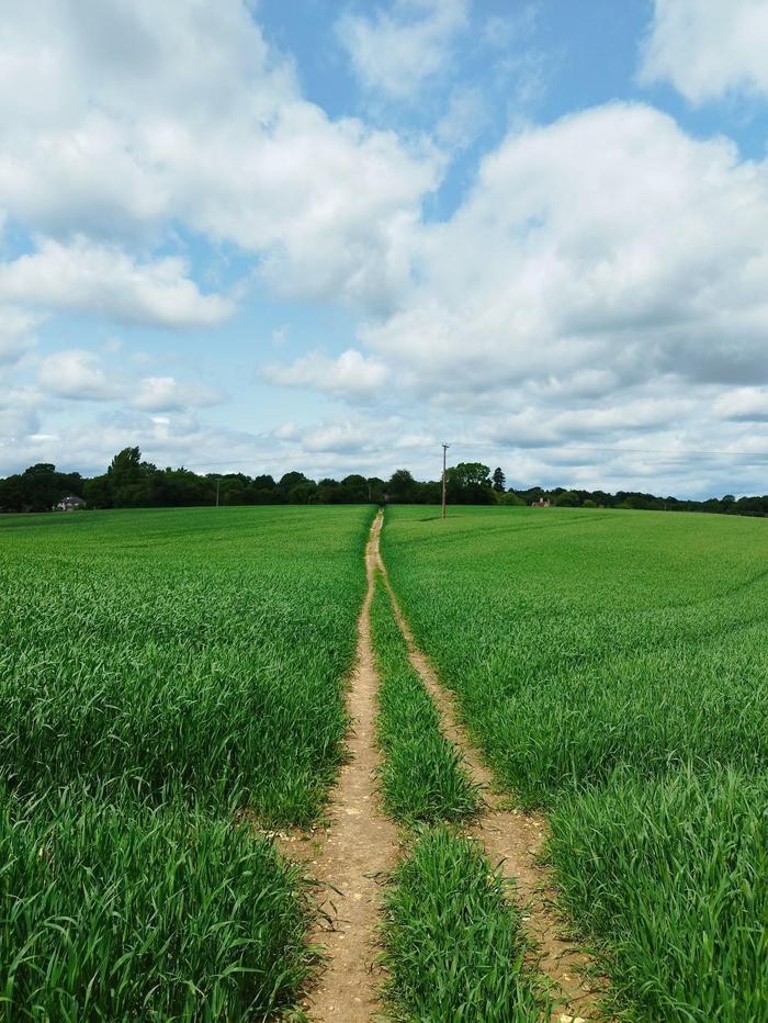
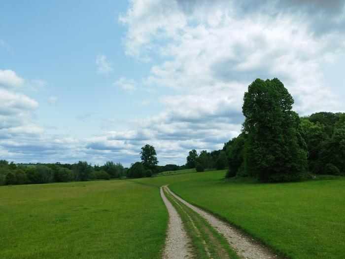
The gate to enter the fields is on Whielden Green, just off Whielden Street. The incline is gentle and not too strenuous but does go on for some time. Scramble through potentially overgrown bushes and grass before emerging into beautiful fields filled with wheat and wild-flowers. Take your time and enjoy the views all around. The village of Coleshill quickly approaches with some road walking. It is a quiet place but still do watch out for cars.
51.64537, -0.65312 - Winchmore Hill
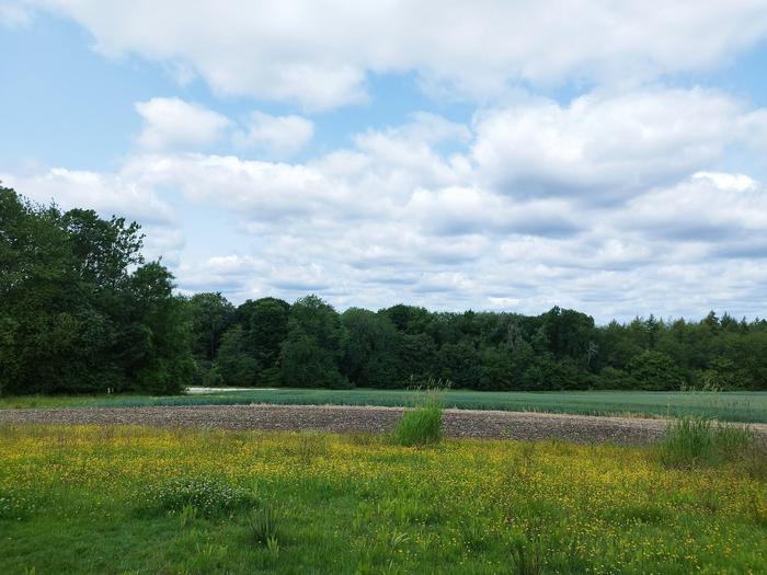
Turning off the main road in Coleshill takes us to a gated pathway down a private road, but public access is allowed. The woods and trees here are wonderful at providing shade in the summer. Lots of open fields providing vast views across this small part of the Chilterns. Entering the quaint village of Winchmore Hill you will notice the central village green. A pub is available for a rest stop.
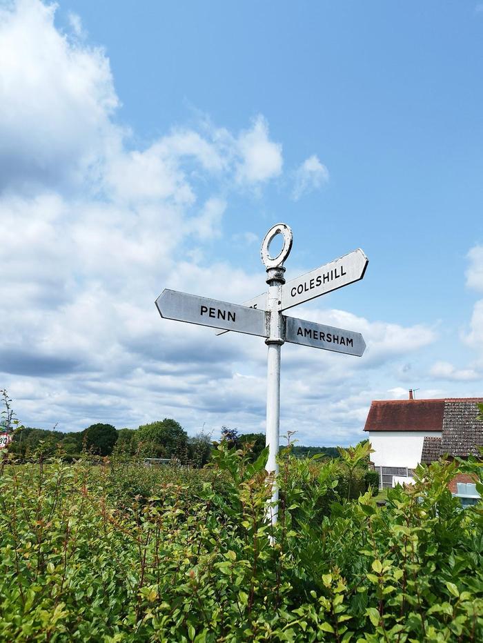
51.65709, -0.66508 - Penn Street
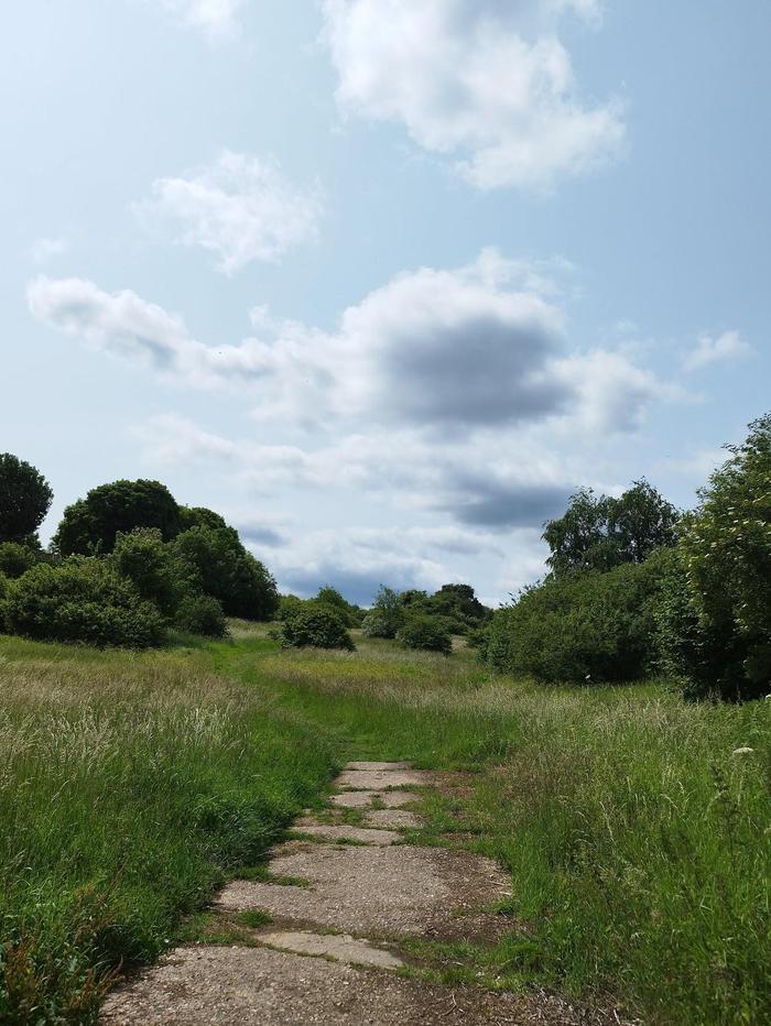
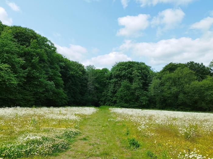
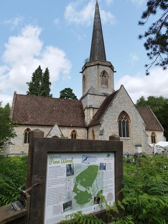
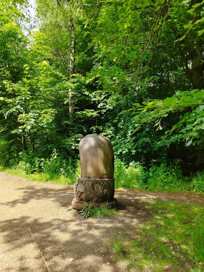
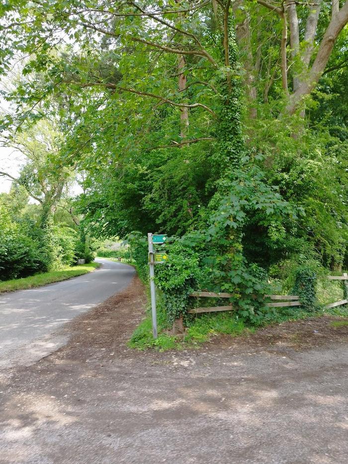
Follow the main road out of Winchmore Hill but be careful to follow the map to re-enter fields, otherwise it is really easy keep following the road. If that is the case, just keep right and remain visible to oncoming cars; there are no pavements. You'll quickly reach Penn Street, yet another beautiful village. This one has a lovely church which leads onto a well kept and advertised woodland walk. You can either walk the whole path, or turn off half walk to escape other walkers (it can get popular on weekends).
51.68178, -0.66838 - Little Missenden
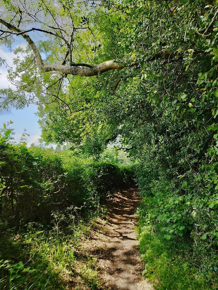
A short sprint across the busy A404, Amersham Road, we enter Toby's Lane. This was probably my least favourite section of the walk. In the summer, this lane is flanked by overgrown bushes and stinging nettles, so take care. The hedges are also quite tall, so there are no views to enjoy, just a matter of head down and keep walking straight. After a few kilometres, the path does open out a little so that you are surrounded by large trees as opposed to bushes, but the path just keeps going. There is a small gate which leads to through a field towards Little Missenden where there is another nice church. Otherwise, keep on Toby's Lane all the way to the end and turn right at the pub to head back towards Amersham.
51.6677, -0.62154 - Amersham Village
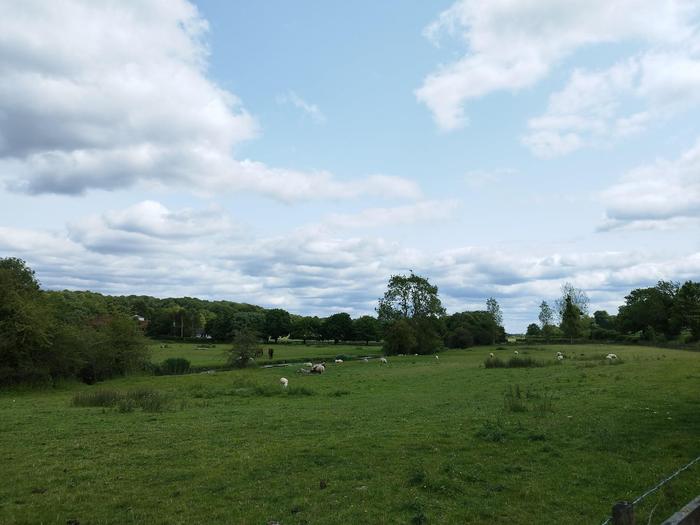
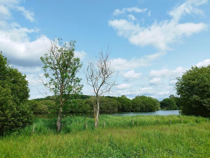
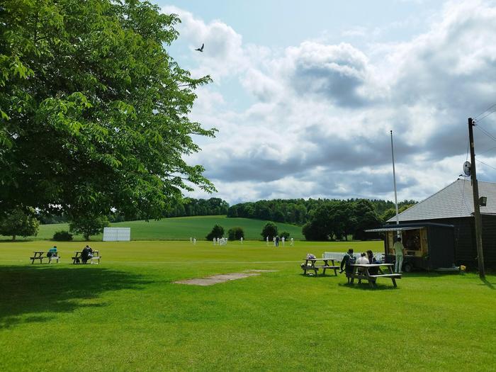
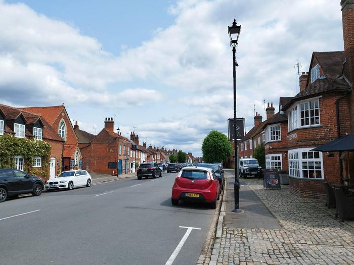
The walk back to Amersham Village is beautiful. There are no more elevation changes, and the route opens up to rolling fields. We follow the River Misbourne past large manor houses as well as Shardeloes Lake where there are lots of wildlife to enjoy. Once you reach Amersham Cricket Club, there is a small path left which takes you onto the High Street (you do have to cross the fast moving A413, so take care). Once on the High Street, there are ample pubs for a spot of lunch and enjoy the sunshine. Once refuelled, the walk back to Amersham station takes about 25-30 minutes back up Rectory Hill.


 51.67411, -0.60752 - Amersham